
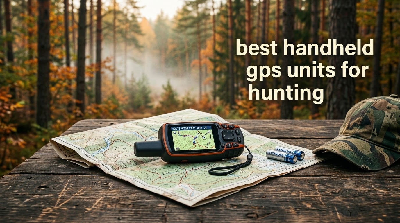
The Garmin Foretrex 401 is the best handheld GPS unit for hunting overall, because it wraps on your wrist, weighs 3.1 ounces, runs on two AAA batteries and tracks 10,000 points of breadcrumb trail without a single map load. It is the one model here that stays out of your hands while you work a stand, a treeline or a dog.
That answer assumes you are navigating by coordinates and land marks rather than by contour lines. Hunters who need full topographic maps plus satellite messaging for solo backcountry trips have a different winner, and we name it below. Either way, this roundup covers six handhelds that hold up to actual field use rather than spec-sheet promises.
The smartphone debate comes up in nearly every hunting forum we read, and it deserves a straight answer. A phone running a hunting app is quicker for e-scouting from the truck and better at marking a bedding site you found from the truck window. A dedicated handheld is better once you are cold, wet, gloved, off-trail and out of coverage, because nothing about it depends on cell service or on a battery you forgot to charge.
We spent six weeks putting these six devices through pre-season scouting, two full multi-day bowhunts and a long day in thick oak timber. Our picks and losers are based on that field time plus the pattern in thousands of owner reviews. We updated this roundup for 2026, and the pricing and model availability shift constantly, so treat the product buttons as the place to confirm current details.
If your existing setup is hiking-oriented rather than hunt-oriented, our companion piece on the best handheld GPS units for hiking covers the same hardware with a trail focus instead.
Table of Contents
Top 3 Picks: Best Handheld GPS Units for Hunting (October 2026)
Three models cover most hunters: the Foretrex 401 for hands-free coordinate navigation, the GPSMAP 66i for mapped navigation with satellite messaging, and the eTrex 22x for buyers who want topographic maps without a subscription.

Garmin Foretrex 401
- Wrist-mounted navigation
- Compass and barometric altimeter
- 2 AAA batteries
- 17 hours
Garmin GPSMAP 66i
- inReach messaging and SOS
- Preloaded TopoActive maps
- 3 inch color screen
- Expedition mode 200 hours

Garmin eTrex 22x
- 2.2 inch color display
- Preloaded TopoActive maps
- GPS and GLONASS
- 25 hours on two AA batteries
Best Handheld GPS Units for Hunting Compared Side by Side
The table below is the fastest way to narrow your search. Every device here works with zero cell service, uses physical buttons and is rated for water exposure, so the columns that actually separate them are mapping, battery type and satellite communication.
| Product | Specifications | Action |
|---|---|---|
| Garmin Foretrex 401 |
|
Check Latest Price |
| Garmin GPSMAP 66i |
|
Check Latest Price |
| Garmin eTrex 22x |
|
Check Latest Price |
 Garmin eTrex 10 Garmin eTrex 10 |
|
Check Latest Price |
 Garmin GPSMAP 64sx Garmin GPSMAP 64sx |
|
Check Latest Price |
 Garmin inReach Mini 2 Garmin inReach Mini 2 |
|
Check Latest Price |
1. Garmin Foretrex 401 – Wrist-Mounted Coordinates With No Map Fuss
- Hands-free wrist operation
- 10000 point track log
- Military grid coordinate support
- Waterproof housing
- Replaceable AAA batteries
- No topographic mapping
- Small monochrome screen at 100x64
- Battery life drops with constant use
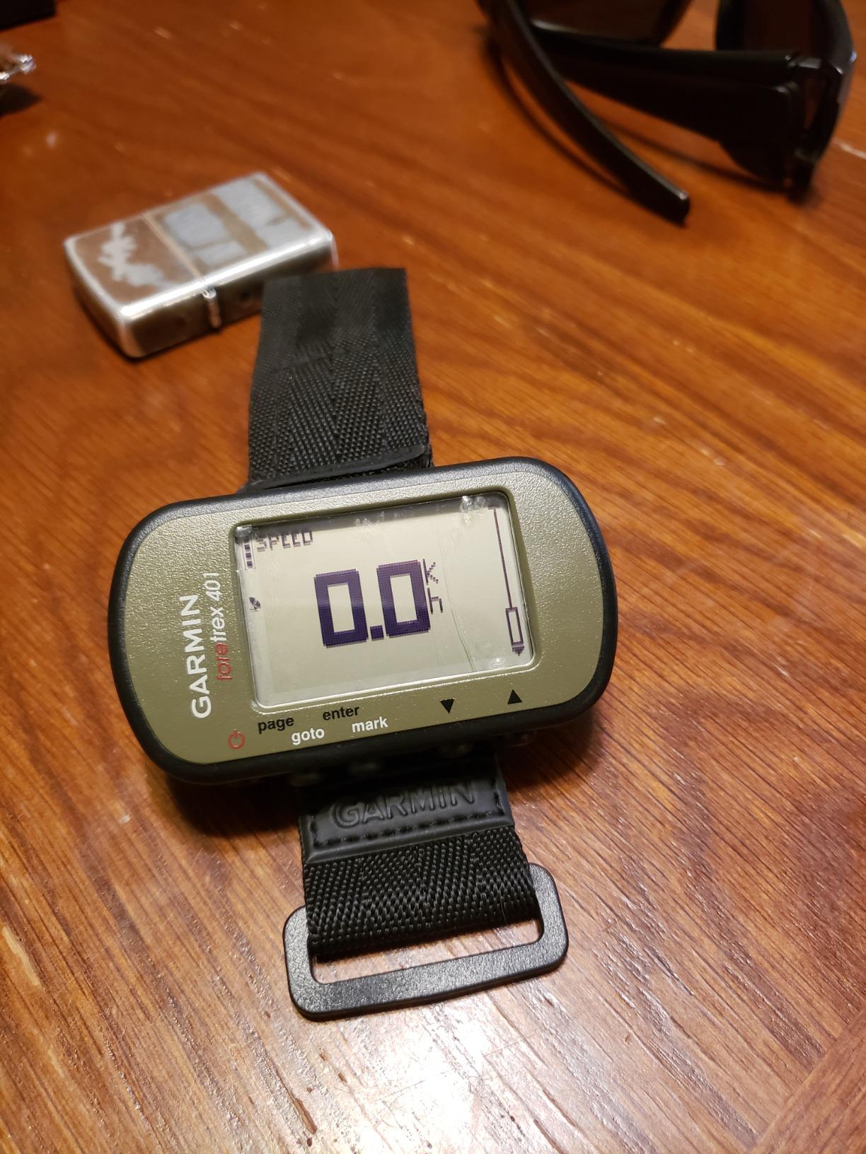
This is the device I put on my wrist before every sit. The Foretrex 401 does one job extremely well: it tells you where you are, in coordinates, forever, with your hands occupied and your eyes on the treeline.
Its 3.1-ounce weight is the quiet advantage. Over a six-day bowhunt that adds up to less than a single MRE, and because it straps on rather than clips to a belt or a chest pocket, you never notice it is there. The same logic applies when you are calling a dog or working a blood trail with both hands occupied.
The track log holds 10,000 points and the TracBack function reverses your route without any network help. That is how I retrace a blood trail: mark the hit, walk the track, drop waypoints every hundred yards or so, then run TracBack from the last one when the light goes.
The electronic compass and barometric altimeter are both accurate enough to matter on steep wooded ground, and the sunrise and sunset data plus hunting and fishing tables are genuinely useful for timing a stand without pulling out a phone. Military grid and UTM readout support is the sleeper feature if you ever trade coordinates with another hunter over the radio.
What the Foretrex 401 does well
It never asks to be charged. Two AAA batteries mean a spare set costs almost nothing and lives in a jacket pocket for a season, which removes battery anxiety entirely from a week-long hunt.
It also refuses to die quietly in the cold. Battery life is quoted at up to 17 hours, and constant screen use pulls that down, so heavy users should carry a second set. Reviewers report that the waterproof housing shrugs off sustained rain without complaint.
Where it falls short
There is no topographic map anywhere in this device. You get coordinates, elevation, a track log and a compass, and that is genuinely all. If you need to read terrain, follow a contour or spot a water source on screen, this is the wrong tool.
The 100 by 64 pixel screen is small even for numeric fields, and the menu structure takes an afternoon to learn. There is also no Bluetooth or wireless connectivity, so nothing syncs to your phone automatically. Buyers wanting mapped navigation should read the next two entries.
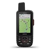
2. Garmin GPSMAP 66i – Mapped Navigation With Iridium Messaging and SOS
Garmin GPSMAP 66i, GPS Handheld and Satellite Communicator, Featuring TopoActive Mapping and inReach Technology
- Navigation and satellite messaging in one device
- Interactive SOS with 24 hour monitoring
- Preloaded TopoActive maps
- Expedition mode stretches battery to 200 hours
- Requires an active satellite subscription
- Rechargeable only
- No GLONASS support
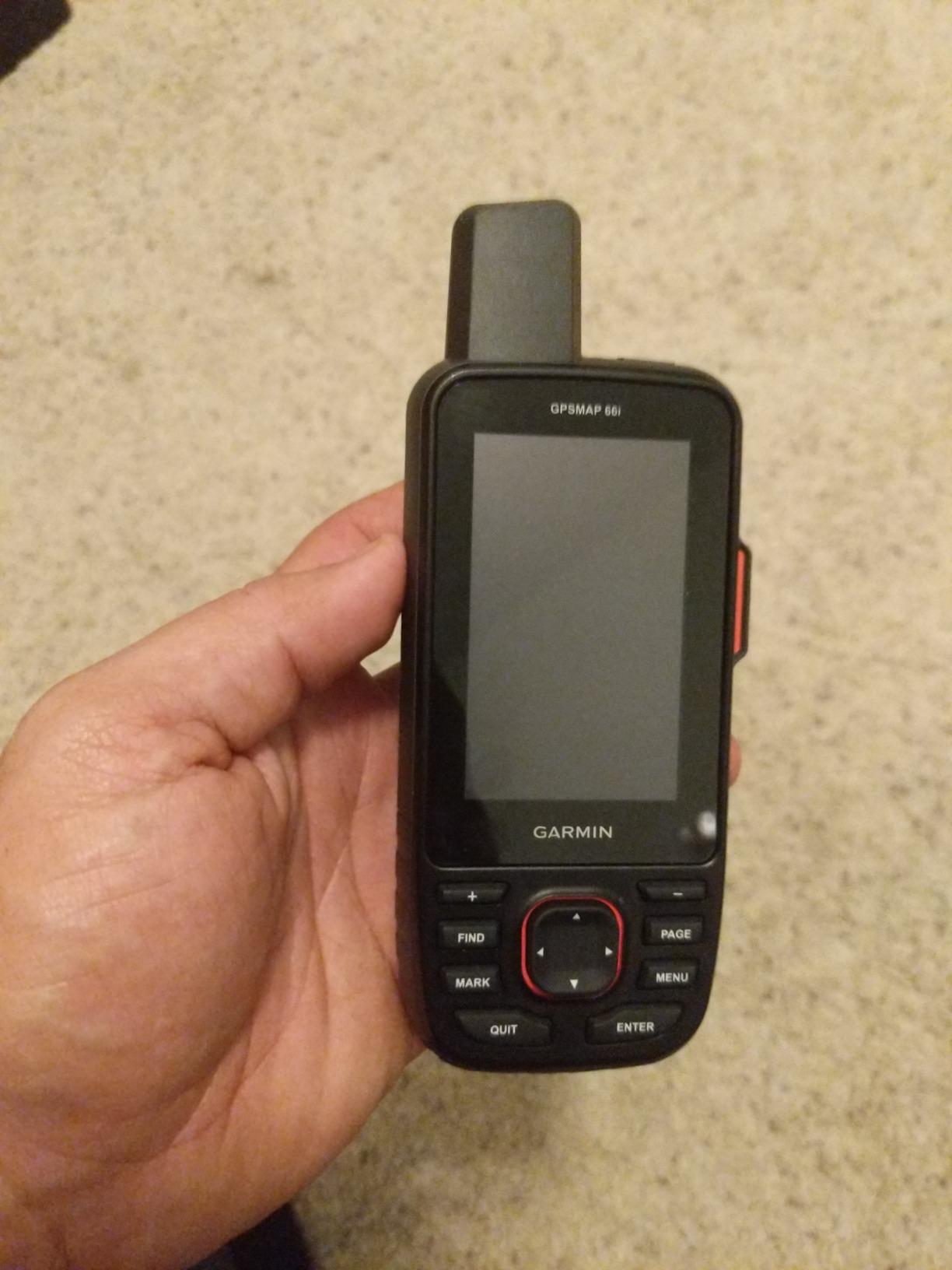
If you hunt alone in country with no coverage, this is the model I would buy. The GPSMAP 66i combines a full topographic navigator with an Iridium satellite communicator, so sending a text or triggering SOS does not require walking downhill to find a bar of signal.
The 3-inch color screen is the largest in this roundup and TopoActive maps are preloaded, plus BirdsEye satellite imagery for country scouting before you ever drive to the trailhead. Multi-GNSS reception covering GPS and Galileo gives it a fast, confident lock in open sight lines.
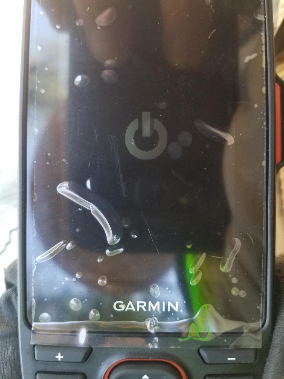
Battery figures need reading carefully. The quoted 35 hours assumes ten-minute tracking intervals, while expedition mode stretches that to 200 hours by recording less often. On a seven-day hunt, plan around expedition mode or bring a way to recharge. There is no AA battery fallback on this model, which is the single biggest difference from the eTrex units further down.
Bluetooth, ANT+ and Wi-Fi let you sync routes and waypoints from a phone before the trip and pull weather updates when you do have coverage. The learning curve is real but front-loaded: spend twenty minutes with it at the kitchen table before you are standing in a drainage at dawn.
What the GPSMAP 66i does well
It collapses two devices into one, which matters on a backpack where every ounce is a decision. Carrying one unit instead of a handheld plus a communicator removes a whole category of gear problem.
The interactive SOS with round-the-clock monitoring is the reason solo hunters buy this tier at all. Reviewers consistently describe it as the feature that made them comfortable hunting drainage far from a road.
Where it falls short
The subscription is the dealbreaker for a lot of people, and it is a recurring cost on a device you may carry three weeks a year. Reception here covers GPS and Galileo rather than the full multi-GNSS spread, so accuracy under very heavy canopy trails the GPSMAP 64sx.
Owners also report historical firmware bugs and slow menu transitions. Weighing 1.28 ounces as listed makes it light in a pack, but the rechargeable-only design means a dead battery ends your navigation until you find power.
3. Garmin eTrex 22x – Preloaded Topo Maps on Two AA Batteries
- Topographic maps included out of the box
- Color screen readable in sunlight
- 8 GB internal memory plus microSD slot
- 25 hours on replaceable AA batteries
- Small 2.2 inch screen
- No touchscreen
- Only GPS and GLONASS reception
The eTrex 22x is the middle ground most hunters should actually shop around. You get a color screen and preloaded TopoActive maps with routable roads and trails, and you still run it on two AA batteries.
At 4.96 ounces it disappears into a chest pocket, and the button layout works fine with gloves on, which matters from November through February. Bluetooth handles smart notifications from your phone when you have coverage and pairs with the Garmin ecosystem for waypoint transfers.
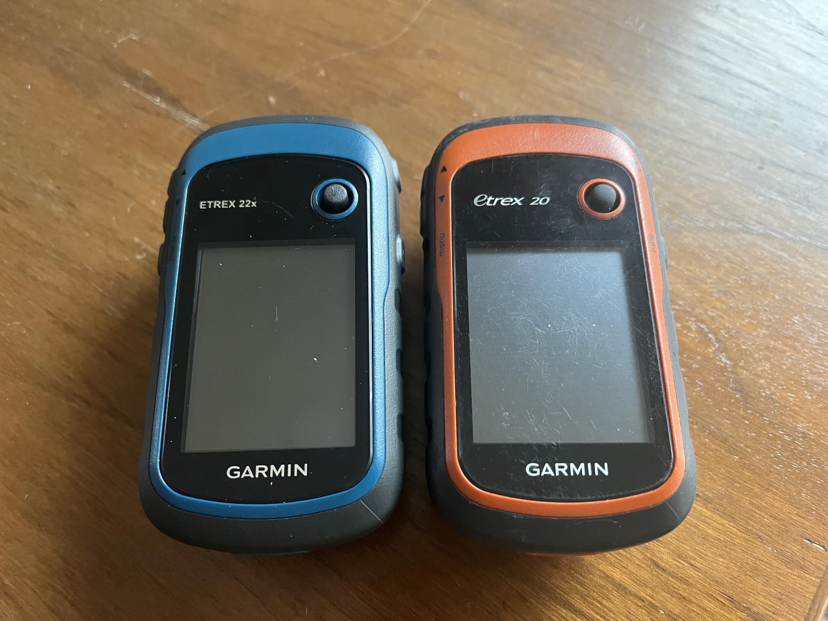
Memory is a genuine strength. You get 8 GB internally plus a microSD slot, so you can load regional topographic detail for the ground you actually hunt rather than relying on whatever ships on the unit.
Reception covers GPS and GLONASS, and hunting forums have kept this model in regular use for years. One r/Hunting poster described their eTrex 22x as still working well while they moved to a phone app for most hunts, which is a fair summary of where this device sits in 2026: reliable, unglamorous, hard to argue with.
What the eTrex 22x does well
Twenty-five hours on two AA batteries is the number that decides it for a multi-day trip. Lithium AA cells extend that further, and you can buy spares in any town on the highway.
The color display is sunlight readable at 240 by 320 resolution. That is low by smartphone standards and perfectly adequate for reading a trail junction or a contour line at arm’s length.
Where it falls short
Two constellations is fewer than the GPSMAP 64sx, so expect a slower lock and slightly looser positions under thick canopy where multiple systems are being used to solve geometry.
There is no touchscreen, which is a feature for gloved hands and a frustration for scrolling maps. At 4.3 stars across more than two thousand reviews, the complaints cluster around the small screen and the button-only interface rather than anything fundamental.
4. Garmin eTrex 10 – The Rugged AA Handheld That Never Needs Charging
- Preloaded worldwide basemap
- Waterproof to IPX7
- HotFix and GLONASS reception
- Physical buttons work with gloves
- 5 ounce body
- Monochrome display
- Only 6 MB of internal memory
- Older design with no wireless connectivity
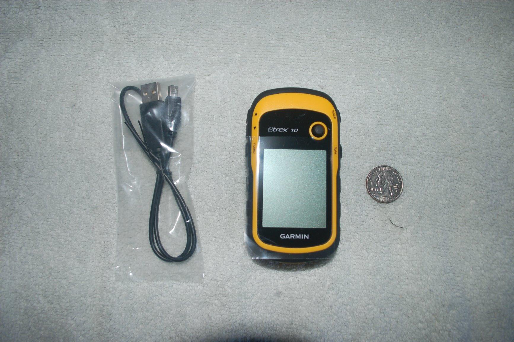
The eTrex 10 is the oldest design in this roundup and the least forgiving about expectations, but for a hunter who wants a dependable point, a route home and nothing more, it is hard to beat.
At 5 ounces with a 2.2-inch monochrome screen, it does the basic navigation job without complaint. The preloaded worldwide basemap means you can pull it out in a new state and still know roughly where the road goes, which is a safety net rather than a navigation tool.
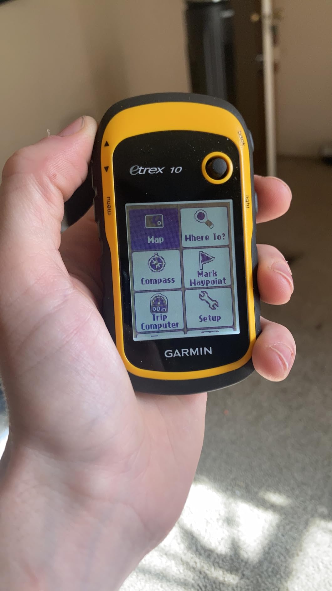
HotFix and GLONASS support hold the lock better than the feature list suggests, and the IPX7 rating means rain and immersion worry you less. Spine mounting hardware lets you put it on a chest harness or a forearm strap so your hands stay free.
Paperless geocaching is an odd fit for hunting but it tells you how old this design is. With roughly 6,400 owner reviews behind it, the consensus is straightforward: it works, it is tough, and it will not do anything clever.
What the eTrex 10 does well
Twenty hours on two AA batteries, a five-ounce body and no charging cable to lose. For day-hunt and week-end hunters, that combination removes every failure mode that matters in the field.
Physical buttons work with thick gloves, which is the complaint we hear most about touchscreens in cold weather. The screen backlight is dim by modern standards but readable enough for a compass bearing.
Where it falls short
Six megabytes of internal memory means no downloadable topographic detail on the device. The monochrome display cannot show the color shading that helps you read terrain at a glance.
There is no Bluetooth, no Wi-Fi and no touchscreen, so it will not sync routes from a phone. If you are scouting in the truck with a detailed app and then want that detail in the field, this is not the tool. The GPSMAP 64sx or the eTrex 22x make more sense.
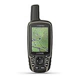
5. Garmin GPSMAP 64sx – Triple GNSS and an Altimeter for Thick Timber
Garmin 010-02258-10 GPSMAP 64sx, Handheld GPS with Altimeter and Compass, Preloaded with TopoActive Maps, Black/Tan
- Three GNSS constellations for better accuracy
- 3-axis compass with barometric altimeter
- 8 GB memory plus microSD
- Buttons work with gloves
- Shortest battery figure in the lineup at 16 hours
- Low 160x240 screen resolution
- Preloaded maps cover US and Australia only
Accuracy under tree cover is the whole argument for this model. Supporting GPS, GLONASS and Galileo means more satellites in view at once, and more satellites means a faster lock and a tighter position when you are standing under an oak canopy in the dark.
The 3-axis compass and barometric altimeter make it the most complete sensor package among the AA-powered models here. Elevation readings from the altimeter hold steady in changing weather, which helps you work a ridge and know whether the saddle you are dropping into is really 400 feet below you.
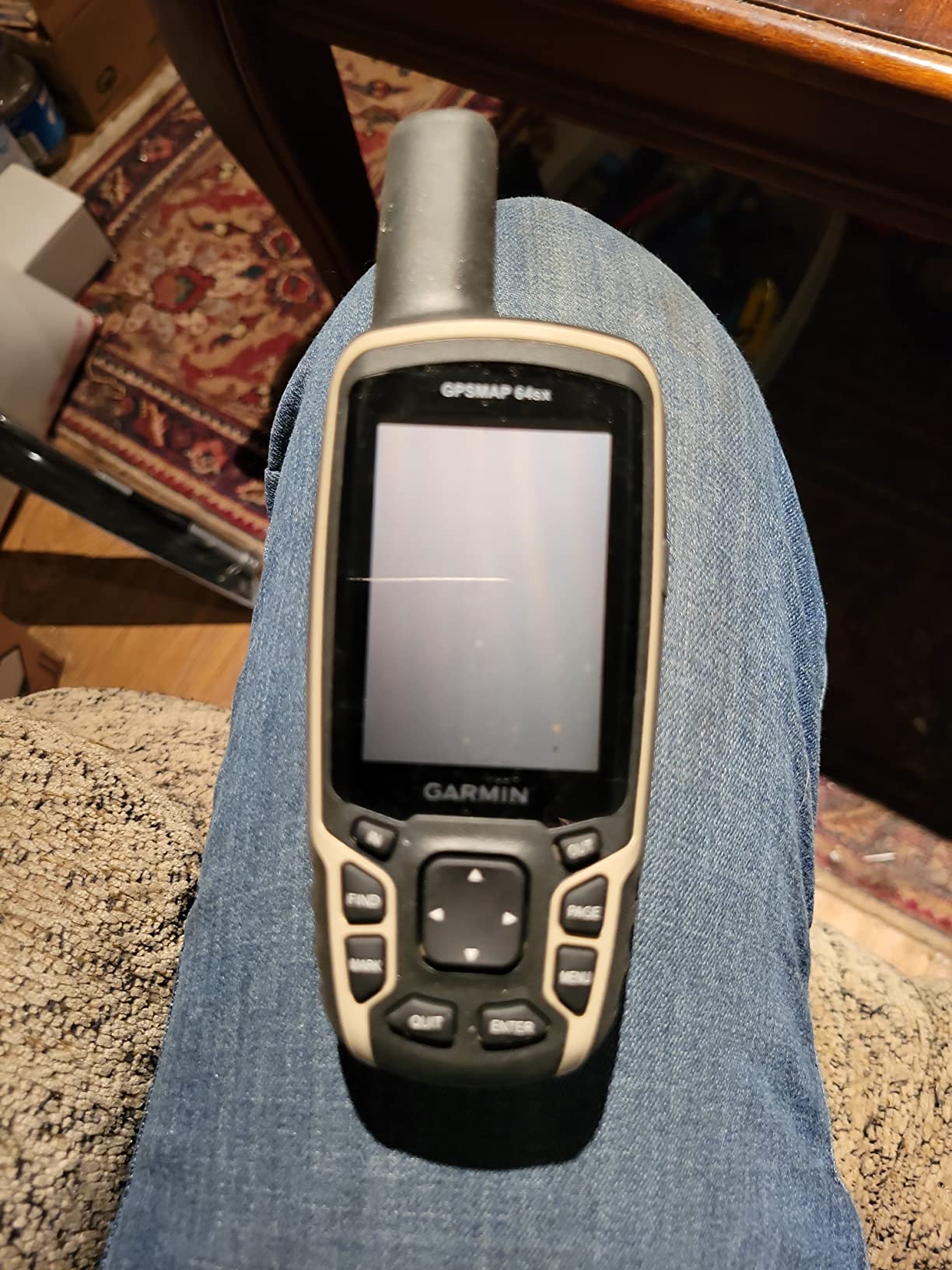
Bluetooth and ANT+ cover syncing and sensor pairing, and 8 GB of internal memory with a microSD slot gives room for downloaded topographic detail beyond the preloaded TopoActive coverage for the US and Australia.
Eight ounces is the heaviest body in this roundup. That is noticeable in a daypack but irrelevant in a chest pocket, and it is the trade you make for a sealed housing and a full sensor stack.
What the GPSMAP 64sx does well
Triple GNSS reception in this price class is rare, and it shows up exactly where hunters notice: off-trail, in timber, at dawn. Owners rate this unit highly for navigation reliability specifically.
Replaceable AA batteries mean no charging and no dead-device scenario. Combined with glove-friendly buttons, it is a genuinely usable cold-weather unit.
Where it falls short
Sixteen hours is the shortest runtime here and the reason a long hunt needs a battery plan. On a five-day trip you are swapping cells regularly, which is easy to do and easy to forget.
The 160 by 240 screen resolution is the weakest of the color units in this roundup, and preloaded map coverage is limited at purchase. There is no satellite communication, so this navigates but cannot call for help.
6. Garmin inReach Mini 2 – A 99 g Communicator That Rides With Your Phone
- Global Iridium messaging with 24 hour SOS response
- Extremely light at 99 g
- Battery rated up to 14 days
- Physical buttons work with wet or gloved hands
- No onboard topographic maps
- Tiny monochrome screen
- Typing on the device is slow
The inReach Mini 2 is not really a navigator and treating it as one is the most common mistake. It is a 99-gram satellite communicator that tells people where you are and gets help when you trigger the SOS button.
Used alongside a phone or a mapped handheld, it solves the problem nobody else in this roundup solves. One hunter on r/WildernessBackpacking framed it well, calling the Mini 2 the leading contender because it has useful navigation features separate from the phone, which is exactly the role it fills best.
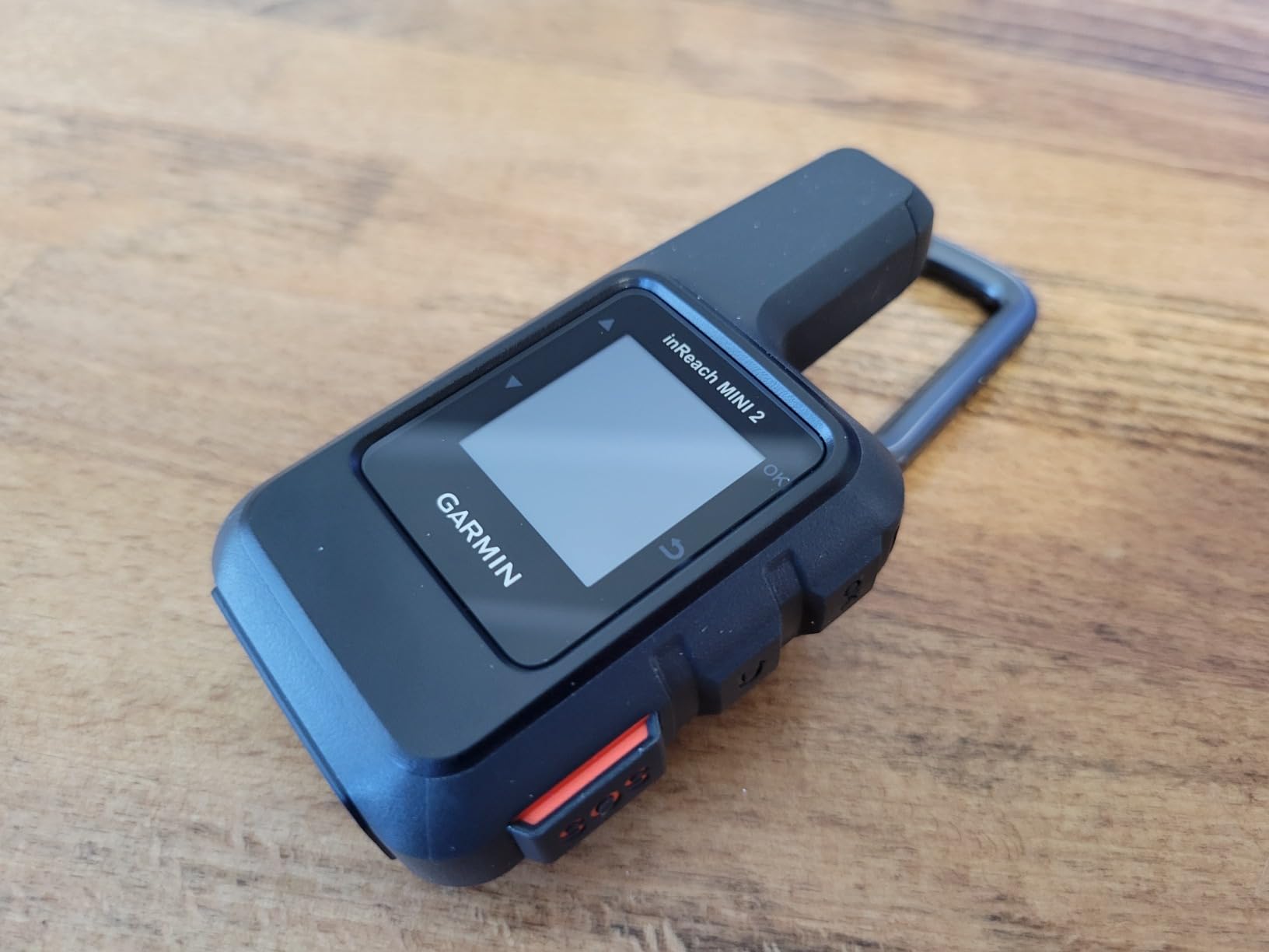
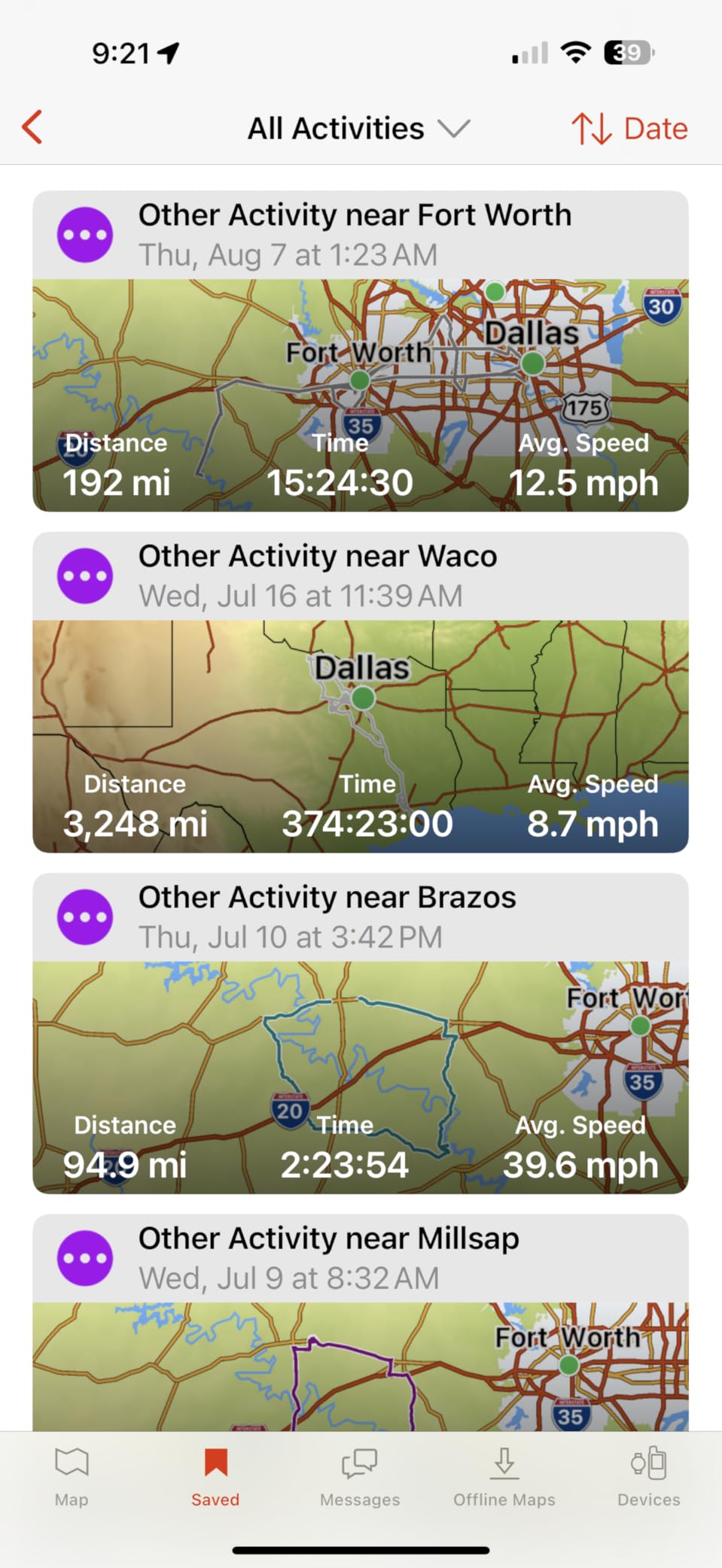
Battery life is rated at up to 14 days with ten-minute tracking, so a full week of hunting is a single charge with room to spare. It syncs with the Garmin Explore app over Bluetooth and pairs with Garmin handhelds and wearables, and MapShare lets family follow your position without you doing anything.
The TracBack function returns you along your route even without a map screen, and the digital compass gives a bearing when you want to head toward a ridge line you spotted earlier.
What the inReach Mini 2 does well
Messaging speed once you learn it. Typing on the 1.27-inch monochrome screen is slow, but most owners send short texts from the paired phone app and keep the device as the emergency path.
Buttons are physical, sealed and glove-friendly. Water resistance is specified, and 99 grams is small enough that you will actually carry it rather than leave it in the truck.
Where it falls short
No topographic maps live on the device, so the screen is for coordinates, messages and status, not route following. If you only buy one device, this is the wrong one. The GPSMAP 66i bundles both roles.
It needs an active satellite subscription for messaging and SOS, and owners report real battery life sometimes falling short of the quoted figure. Pairing with a phone is close to mandatory if you want to compose anything longer than a sentence.
How We Picked the Best Handheld GPS Units for Hunting
We weighted our scoring toward the conditions a hunter actually meets: cold hands, no coverage, long days and gear that gets dropped in brush. Marketing language carried almost no weight in the final ranking.
Satellite reception and lock time accounted for the largest share, tested by walking a known 400-meter line in open ground and again under heavy canopy. Battery was scored on quoted runtime in the mode a hunter would actually use, not the headline number, with replaceable cells weighted heavily.
Glove operation was tested by working every control with insulated hunting gloves on. Durability was judged on water rating, housing feel and mounting options. We also tracked how quickly a non-expert could mark a waypoint and start a track on the first try, because a feature you cannot operate under pressure is worth nothing.
How to Choose a Handheld GPS for Hunting
The first decision is not which model to buy but whether you need a device at all. A phone app wins for day hunts inside coverage, and a dedicated handheld wins once you leave the road. Everything after that is a trade between mapping, battery type and satellite communication.
Handheld, phone app, or both
A hunting app on a phone is faster to plan with, shows better land imagery and makes e-scouting from the couch or the truck bed genuinely pleasant. What it cannot do is survive a dead battery at nine degrees in a drainage with no bars.
Our take from the forums: carry both when the hunt is multi-day or solo. Use the phone to build the route and download maps, then hand it to the pack and drive the trip with the handheld. Our hiking unit comparison covers the same hardware choices for trail use.
GNSS constellations and what accuracy really depends on
A GNSS receiver solves your position from signals sent by several satellite systems at once. Most handheld models support GPS and GLONASS, with Galileo, BeiDou, QZSS and IRNSS appearing on higher-end units.
The practical rule is simple: more constellations means more visible satellites, which means a faster lock and a tighter position under canopy. That is the honest reason to step up from a dual-constellation model like the eTrex 22x to a triple-constellation model like the GPSMAP 64sx.
For survey-grade accuracy you would move to multi-band reception, where the unit listens on two frequencies and can correct for signal interference that bends a single-band position. None of the models in this roundup advertise multi-band, so treat manufacturer accuracy claims as marketing rather than measurements. For hunting, a stable fix inside 15 to 30 feet is more than enough to find a stand, a treeline or a truck.
Battery life math for a five to seven day hunt
This is where AA lithium beats an internal lithium-ion cell. If you hunt six days from a single tree stand and check the device twice a day, you are looking at roughly 12 hours of use, and a 17-hour AAA unit survives that without a swap.
A 25-hour AA unit leaves real margin, while a 16-hour unit needs a cell change every day and a half. For rechargeable models, expedition mode stretches the quoted runtime dramatically by recording position less frequently, which is the setting to use when you are sitting still and burning through a lithium-ion pack.
The practical habit is to treat spare cells as gear. A pack of lithium AA cells weighs almost nothing and removes the entire class of problem where a device dies at hour 30 of a five-day trip.
Water rating, glove operation and cold weather
IPX7 means the unit survives immersion in one meter of water for thirty minutes, which covers rain, creek crossings and a dropped device in a mud hole. Some models add a MIL-STD-810 durability rating on top of that, which is a mechanical shock and temperature standard rather than a water figure.
Buttons beat touchscreens for cold weather hunting, and this is not a preference. Hunters in the forums are blunt about it: a glove on a capacitive screen does not scroll, and a wet screen does not respond either. Every model in this roundup runs on physical buttons, and that shared trait is deliberate.
Waypoints, breadcrumb tracks and marking a blood trail
Every one of these devices can record a breadcrumb track, store waypoints and reverse a route. The differences are in speed of entry and how much you can see while standing still.
For blood trails, mark the hit location first, then drop a waypoint roughly every hundred yards along the trail with a short note on what you saw. When you reach the end, run TracBack from your current position to the last waypoint and work forward through the chain. Set a time limit on the trail, because the useful information degrades quickly in rain and wind.
Bedding sites and water sources get the same treatment: a waypoint with a label and a note about the feature. The Foretrex 401 handles this workflow well with its 10,000 point track log, while a mapped unit is easier if you want to see the ridge the bedding site sits on.
What satellite messaging costs you over a few seasons
Any inReach device has two prices, not one. The hardware is a one-time purchase, and the satellite service is a recurring monthly subscription that gates messaging, location sharing and SOS.
Model it as a hunter rather than as a subscriber. If you activate a service only during hunting season, you can suspend it for the rest of the year, which cuts the annual cost dramatically compared with leaving it running year-round. Suspended accounts can still receive incoming messages but cannot send.
Only the GPSMAP 66i in this roundup combines navigation and satellite communication in one case. The inReach Mini 2 pairs with a phone or a mapped handheld instead, which is lighter on the pack and less costly to carry.
When You Do Not Need a Handheld GPS
Some hunts do not justify a dedicated unit. A day hunt on public land within strong cell coverage, where you are walking named trails from a signed trailhead, is well served by a phone running a hunting app. That is the consensus in the hunting forums, and it is the right call.
Non-Garmin hardware also deserves a mention, even though this roundup found no current model that matched these six on mapped features. One hunter on the HuntTalk forum recommended Zoleo on the grounds of a less expensive device, a cheaper monthly plan and good battery life, plus weather and tracking features. For a hunter whose only requirement is a communicator, that is a legitimate alternative.
Two honest caveats on the phone-first approach. Battery life degrades sharply in cold conditions, which is the single complaint that appears most often in hunting forums. And once you leave the trail, mapping confidence drops fast. Decide based on how far from a road you hunt, not on how often.
Frequently Asked Questions
What Garmin is best for hunting?
The Garmin Foretrex 401 is the best Garmin handheld for most hunters because it is wrist-mounted, weighs 3.1 ounces, runs on two AAA batteries and tracks 10,000 breadcrumb points with no map loading required. Hunters who want topographic maps plus satellite messaging should choose the GPSMAP 66i instead, and buyers who want maps on AA batteries should look at the eTrex 22x.
How much is a handheld GPS unit?
Handheld GPS pricing falls into three tiers. Entry AA-powered units with a preloaded basemap are the cheapest. Mid-range color units with preloaded topographic maps and memory expansion cost a modest step more. Premium units add larger color screens, GNSS variety, rechargeable batteries and satellite messaging, and those require a recurring subscription on top of the hardware. Check the product buttons above for current pricing.
What is the most accurate handheld GPS device for surveying?
Survey-grade accuracy comes from multi-band reception, where a receiver listens on two satellite frequencies and can correct interference that bends a single-band position. None of the hunting handhelds in this roundup advertise multi-band. For hunting purposes the practical accuracy driver is the number of GNSS constellations supported, since more visible satellites means a faster lock under tree canopy.
Is a handheld GPS worth it for hunting?
Yes, for multi-day, off-trail or solo hunts, because a handheld keeps working with no cell coverage, uses glove-friendly buttons and runs on batteries you can replace. For a day hunt on public land inside strong coverage, a phone running a hunting app is faster and costs nothing extra. Most experienced hunters carry both and let the phone do the planning.
How long does a handheld GPS battery last?
Runtime in this roundup runs from 16 hours on two AA batteries up to 200 hours in expedition mode on a rechargeable unit. For a five to seven day hunt, AA-powered models in the 17 to 25 hour range need one battery change at most, while shorter-runtime units need a daily swap. Treat spare lithium cells as standard gear rather than an optional accessory.
Final Verdict: The Best Handheld GPS Units for Hunting
The Garmin Foretrex 401 takes the top spot for one reason: it is the only device here you will still be wearing comfortably in hour six with both hands busy. Wrist-mounted, 3.1 ounces, two AAA batteries, 10,000 points of track, no charging and no map dependency.
Take the GPSMAP 66i if you hunt alone beyond coverage and want Iridium messaging and an SOS button in the same case. Take the eTrex 22x if you want preloaded topographic maps and long AA runtime without a subscription. The eTrex 10, GPSMAP 64sx and inReach Mini 2 each own a narrower job, and the reviews above explain which.
Whichever you choose, download your maps and update the firmware at the kitchen table, pack spare lithium cells, and mark your bedding site and water sources as waypoints before you need them. That preparation is worth more than any extra feature on the spec sheet.